


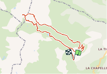

13,8 km | 33 km-effort


Usuario


Aplicación GPS de excursión GRATIS
 SityTrail
IGN / Institutos geográficos
SityTrail World
El mundo es suyo
Ruta Senderismo de 13,3 km a descubrir en Auvergne-Rhône-Alpes, Saboya, La Léchère. Esta ruta ha sido propuesta por franquen.
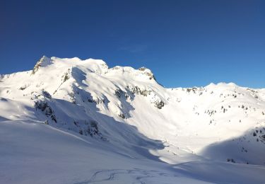
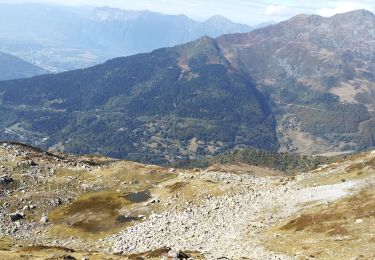
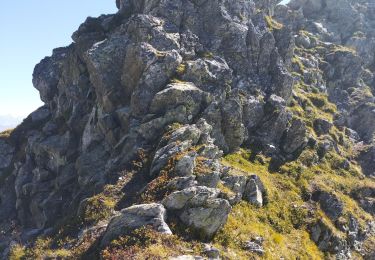
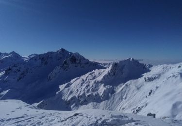
départ sur la route du refuge "le Logis des fées" (après le village le plus haut de Celliers) vers le lac le Branlay, puis les portes de Montmélian (sentier mal indiqué) puis retour par le lac d'Arpettaz et le refuge.De très beaux paysages et une vue magnifique sur les massifs.Attention aux patous si vous avez un chien.

Esquí de fondo
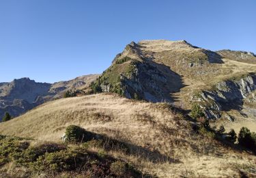
Senderismo

Esquí de fondo
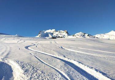
Esquí de fondo
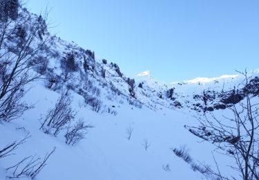
Esquí de fondo
Esquí de fondo
Senderismo
Senderismo
Esquí de fondo